


Google Withdraws AI Image Generation From Google Earth After Misinformation Backlash
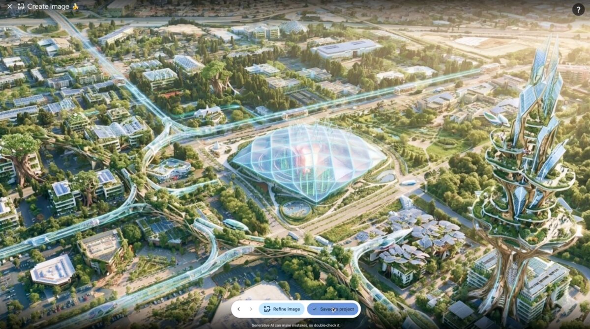
Google rolled back Nano Banana 2 image generation in Google Earth on July 31, 2026, one day after launching it. The prompt-based feature allowed users to place fabricated AI imagery over genuine satellite maps, but criticism quickly focused on its potential to produce convincing geographic misinformation.
Why manipulated maps create a distinct risk
Google Earth is more than a creative canvas. Journalists, researchers, investigators and geospatial professionals routinely use its imagery as visual evidence. Generated objects or events superimposed on that familiar interface could therefore inherit credibility they did not earn.
The immediate risk was not confined to content displayed inside the service. Screenshots could be detached from their original context and circulated across social platforms, making synthetic scenes appear to be authentic satellite observations.
Google promises stronger guardrails
The company said professionals had already applied the feature to useful tasks. However, it also observed people sharing generated imagery that appeared to breach its policies. Google consequently withdrew the capability while it develops additional safeguards.
“We’re rolling back this feature in Google Earth while we work on implementing stronger guardrails,” Google said.
The episode also reflects a broader shift in the economics of visual deception. Creating plausible manipulated imagery no longer requires advanced Photoshop skills: widely available generative models can produce it from a short prompt.
For businesses, the practical lesson is to treat provenance, visible labeling and adversarial testing as launch requirements whenever AI can modify authoritative records. A useful feature can become a trust liability if synthetic output is easily mistaken for evidence, especially once screenshots leave the controlled environment of the original product.